Property planners
Build the planning picture before the advice. Review zoning, controls and site constraints to focus your assessment.
Ask a question. See the answer take shape on the map.
From the first site review to the client brief, give your team a clearer view of the opportunity and its constraints. Site IQ brings property layers, application history and AI into one workspace, so you can spend more time on the decisions that need your expertise.
Assess a siteBuild the planning picture before the advice. Review zoning, controls and site constraints to focus your assessment.
Bring more context to every client conversation. Understand planning controls and nearby development before briefing buyers and vendors.
See site constraints earlier. Bring planning and environmental context into scope discussions before design and construction decisions.
Give opportunity a closer look. Screen sites, explore application history and identify the questions that matter to feasibility.
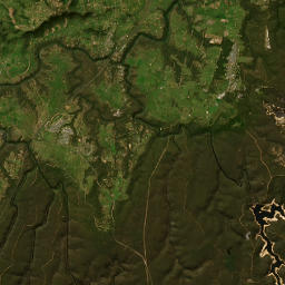
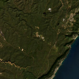
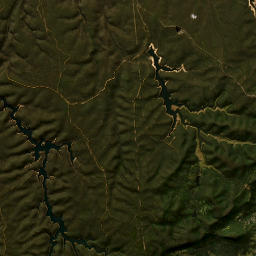
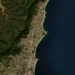

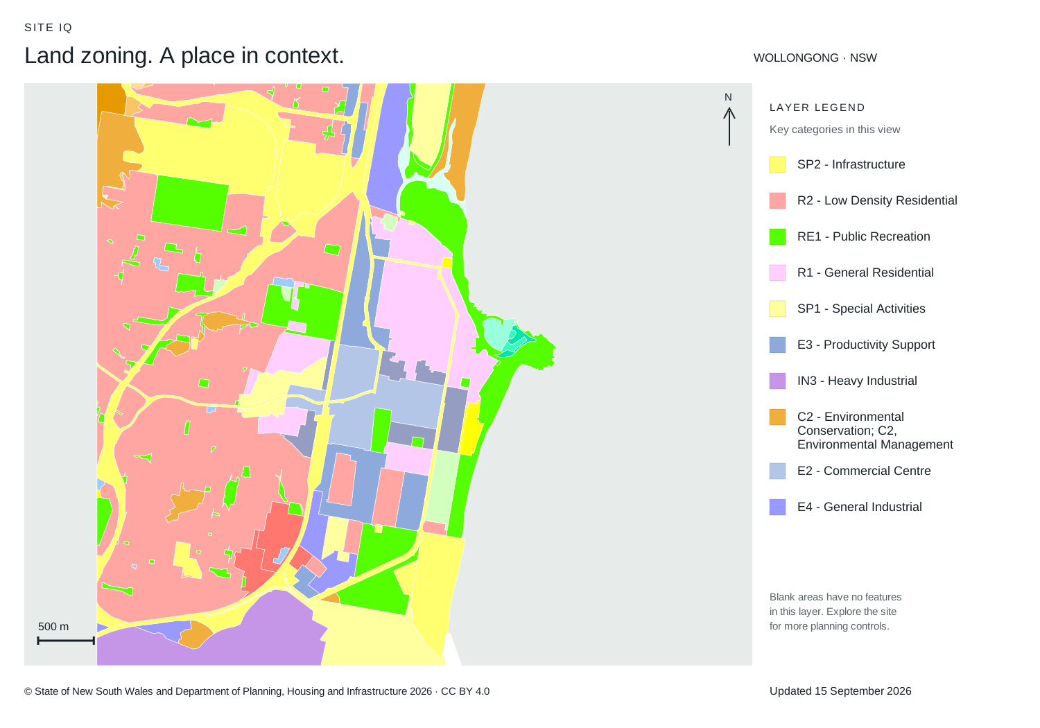
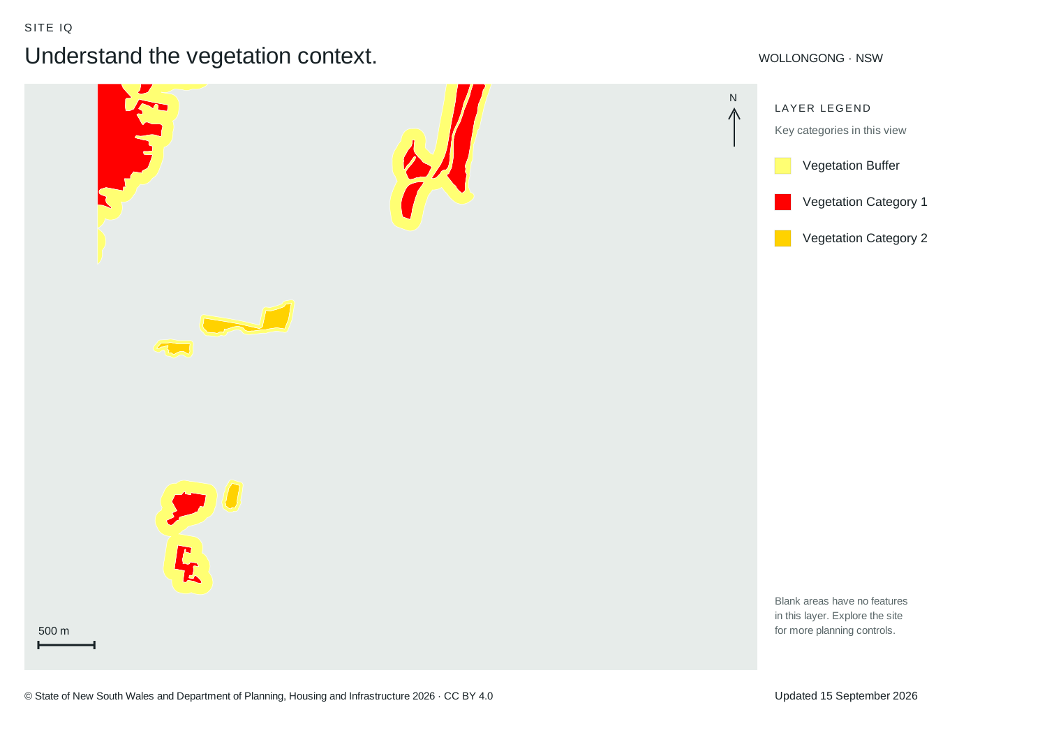
Layer preview · 15 September 2026 Map credits · © State of NSW, DPHI 2026
A connected workflow for the research behind every recommendation.
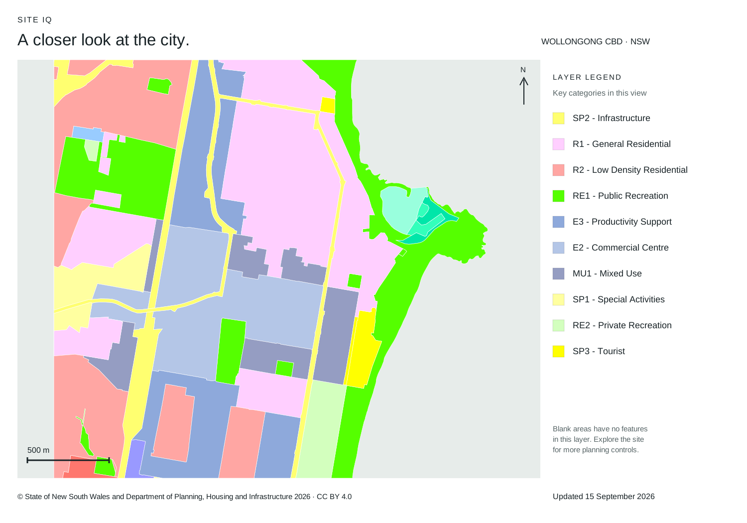
Bring the layers relevant to your brief into one view. Review planning controls, development activity and environmental constraints together.
Select a lot to review zoning, easements and 50 additional property checks. Identify the questions to resolve before the project moves forward.
Ask AI targeted questions and work through the site report. Bring clearer context to client conversations, feasibility reviews and project discussions.
“Check this lot for easements, SEPP controls and proposed zoning.”
Current controls, proposed changes and historical records stay distinct, with gaps in coverage made clear.
Put development activity in context before your next recommendation. Review applications across NSW by status, council and lodgement year.
Older applications stay available as new applications arrive and existing records change.
Review earlier applications alongside current activity to inform site research and client advice.
Filter by status and year to focus on the applications relevant to your brief.
Return to updated application details as your site assessment or project progresses.
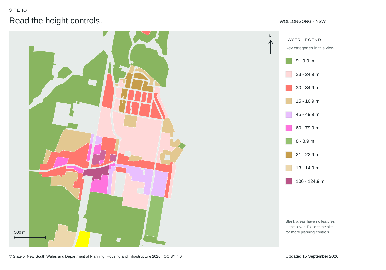
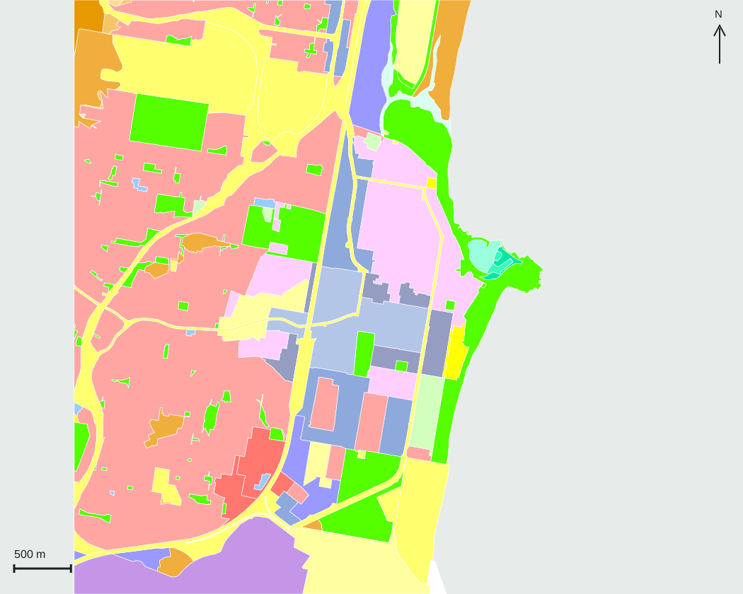
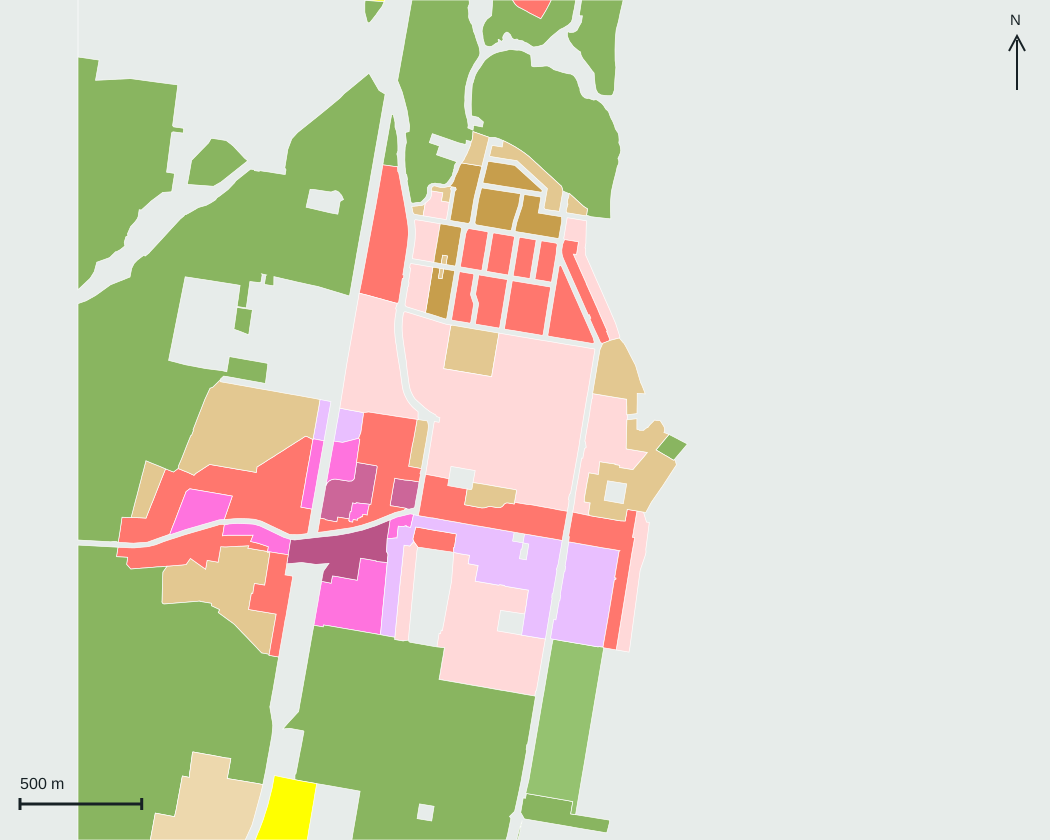
Layer preview · 15 September 2026 Map credits · © State of NSW, DPHI 2026
1162 map layers in one workspace, built for the depth professional property research demands.
Parcels, easements, zoning, height controls and proposals.
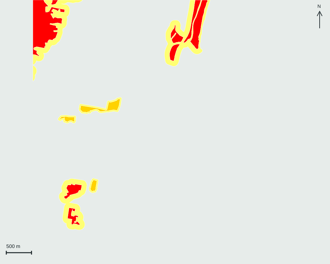
Flood studies, bushfire, water and environmental context.
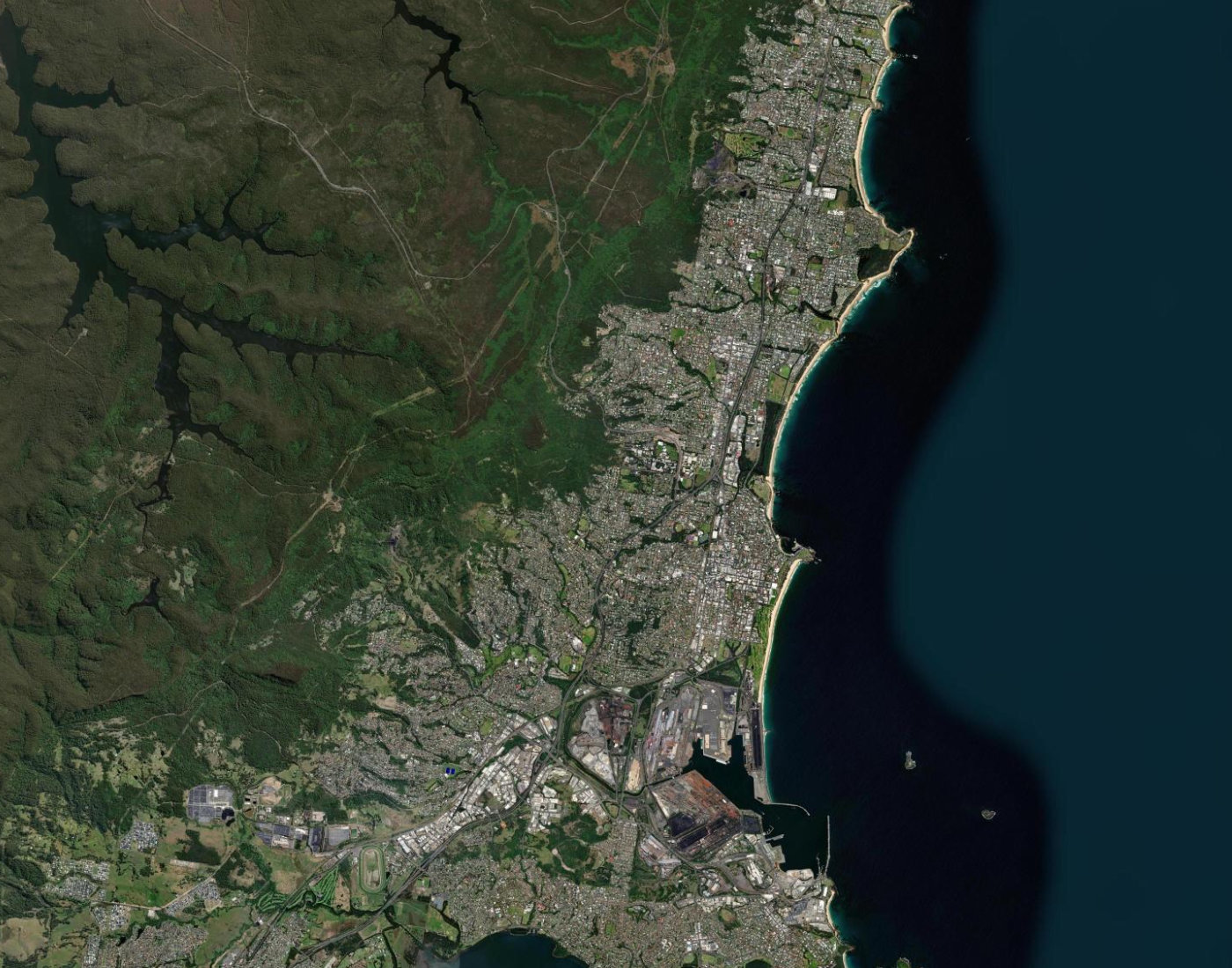
Live transport, infrastructure, boundaries and local context.
Explore 44 additional map layers and 26 supporting data layers for deeper site insights. Coverage varies by location and layer.
Put all 1162 map layers, connected data and AI site screening to work across your assessments.
Full platform access for independent professionals and teams. Prices in AUD, including GST.
Prices in AUD, including GST. Choose a single seat or bring your team.